Bridge of Allan: a map from 1845
This illustrated map dates from 1845 and was published by R. S Shearer, Bookseller, Stirling.
It features the Well House before there was a Hydropath:

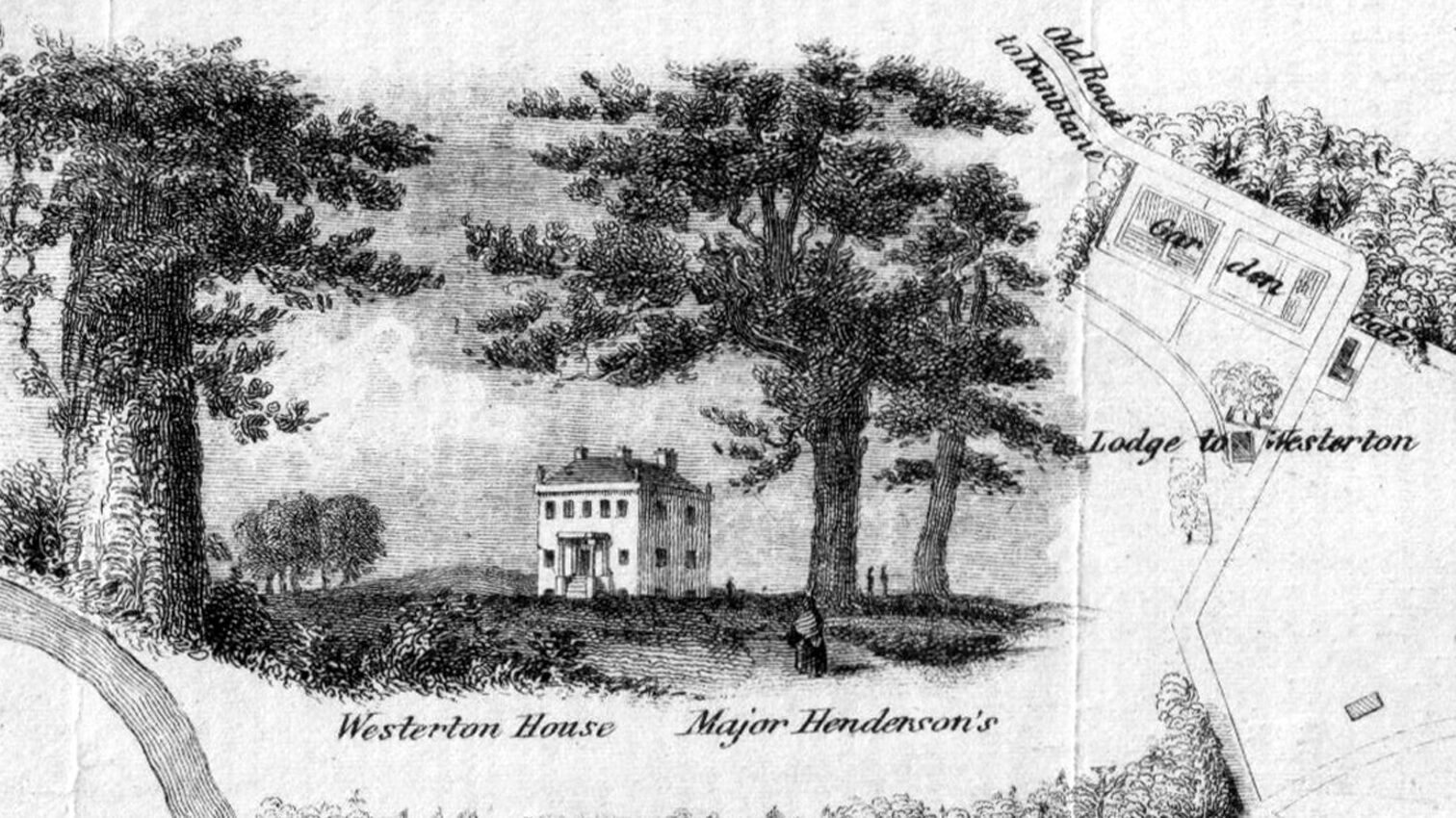
It also features Westerton House:
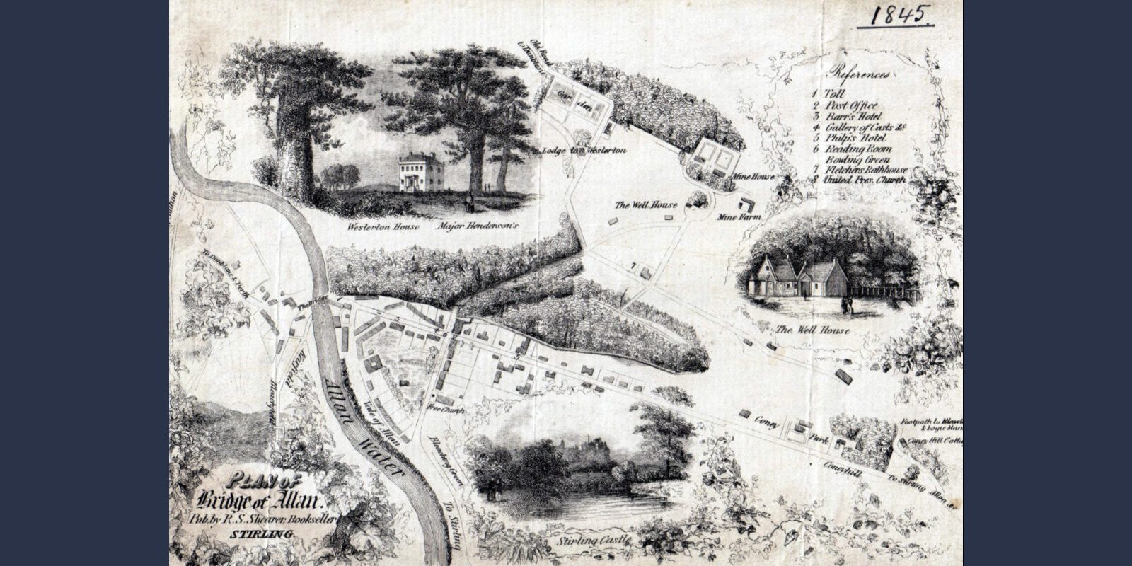
This illustrated map dates from 1845 and was published by R. S Shearer, Bookseller, Stirling.
It features the Well House before there was a Hydropath:
It also features Westerton House: