Craig Mair: Bridge of Allan in Old Maps
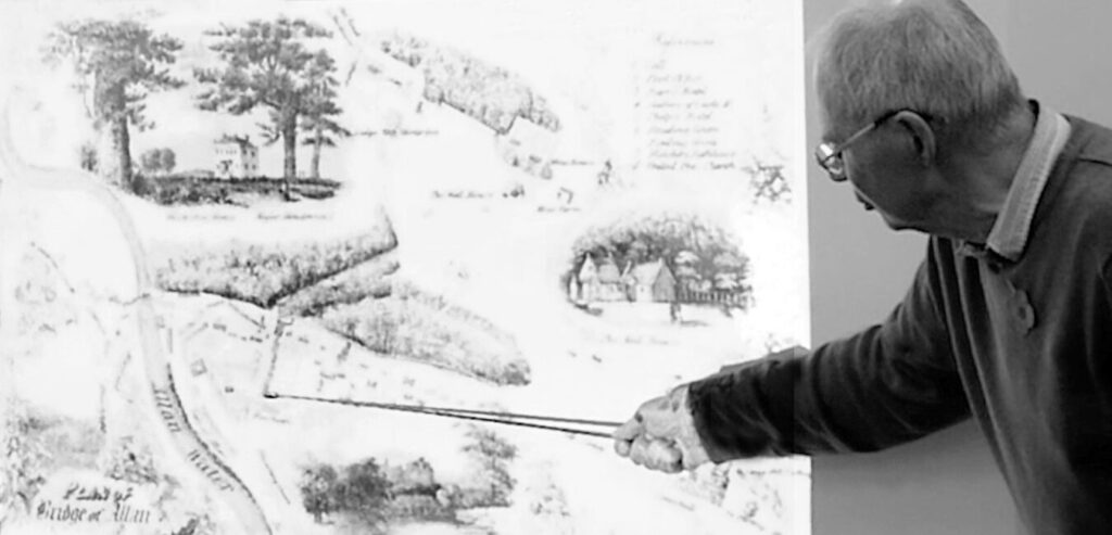
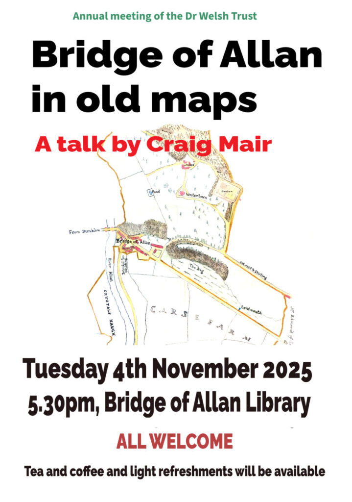
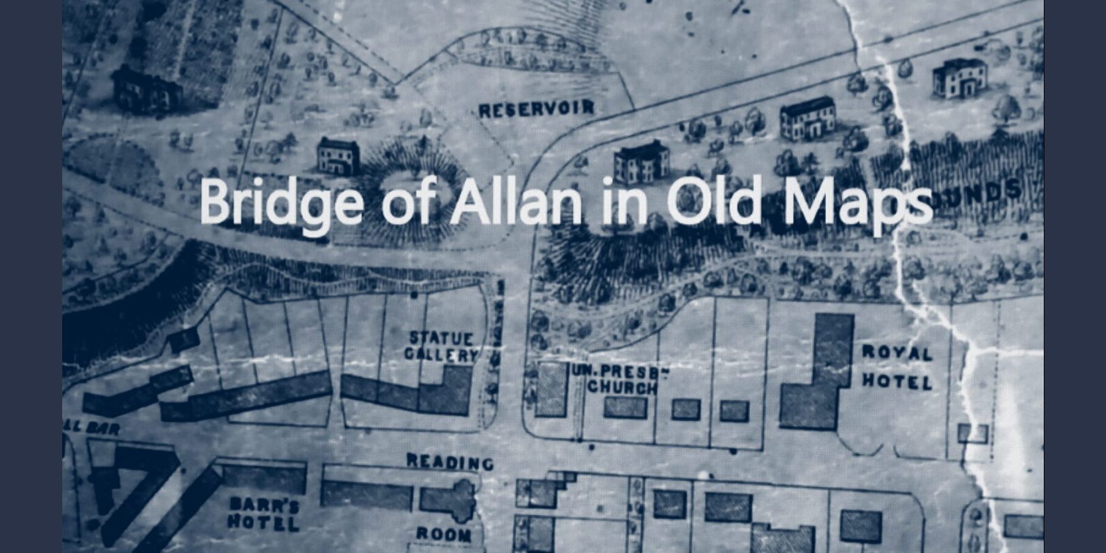
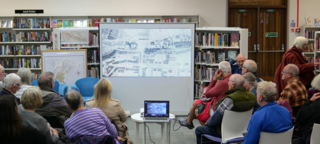
At the Annual Meeting of the Dr Welsh Trust in Bridge of Allan Library on the 4th November 2025, Craig Mair presented, to a large audience, a fascinating account of Bridge of Allan in Old Maps. He began with Timothy Pont’s 16th century map and from there guided us through a wonderful array of maps that followed.
Craig explained that initially there was only a bridge, a narrow hump-backed bridge, and that it was only in the first half of the 19c Bridge of Allan, as a village, began to develop. It was around this time that the ‘restorative’ properties of the Spa mineral water [piped from the old copper mines] were widely marketed and the village grew rapidly. In 1870, Bridge of Allan became a ‘Burgh’.
The first 20 minutes of Craig’s talk can be watched here.


Link to the National Library of Scotland’s map site.
Once into the site, go to County Maps on the browse index at the left of the screen.