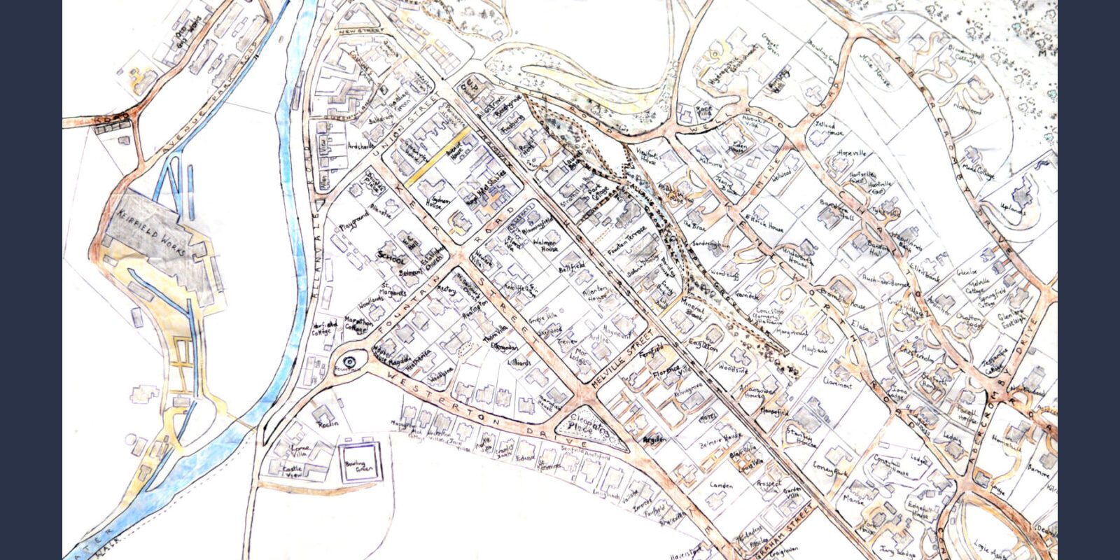
Bridge of Allan maps
Thanks to the dedicated work of Paul Husband, the Dr Welsh Trust has several large scale maps of Bridge of Allan that are currently available to be viewed in Bridge of Allan Library.
Including:
[1] Burgh Map of Bridge of Allan, dated 1871
[2] Westerton Estate map, dated 1812 [Dr Crinan Alexander kindly donated the original estate map to the DWT]
[3] A sketch of Bridge of Allan might have looked circa 1812 [as based on Annie Selby’s recall of the village as a child]. The original was prepared by Paul Husband based on his research.
[4] An annotated 1st Edition Ordnance Survey map that shares archive material relating to the building of a ‘new road’ through Bridge of Allan: Henderson Street